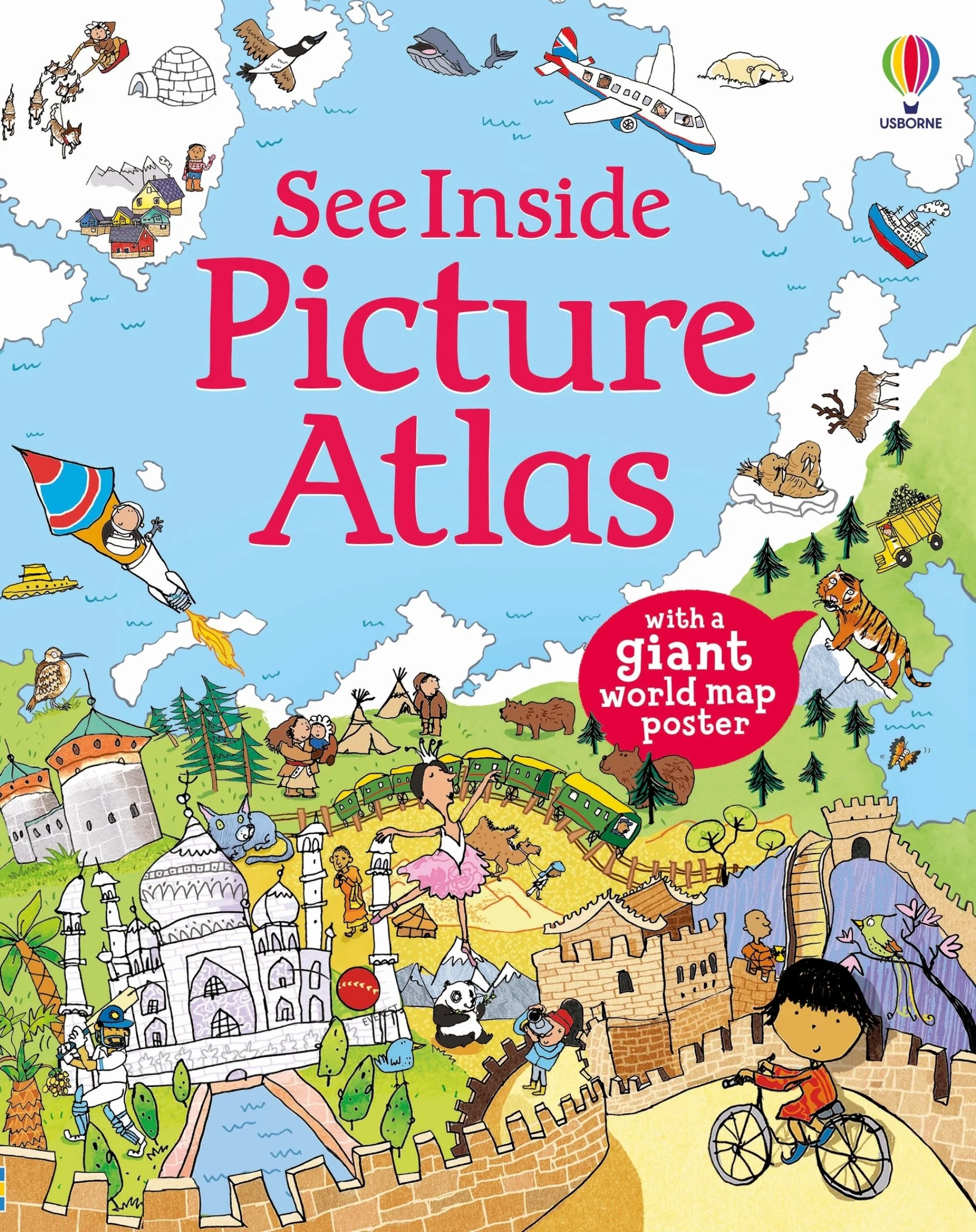
See Inside Picture Atlas, with Map Poster
Tour the whole world in just 16 pages! Find out a variety of different things you can see in different parts of the world, from famous buildings and natural landmarks to animals and plants. Meet lots of people, wearing local dress, eating, dancing, playing sports and saying hello in over 100 different languages.
This book is a fun, simple introduction to the world. Arranged by continent, each page shows a map with country borders, giving a sample of the sorts of things you can see in different parts of the world. Flaps reveal more details, including facts and figures for whole continents - the biggest mountains, longest rivers and most populated countries.
At the back of the book is a GIANT fold-out poster that shows a political map of the whole world, listing every country and capital city, and showing each flag, for all 193 UN-recognized nations.
Chapters of this book include:
- North America
- South America
- Europe
- Africa
- Asia
- Oceania
- Antarctica and Arctic
More Images

See Inside Picture Atlas, with Map Poster
Tour the whole world in just 16 pages! Find out a variety of different things you can see in different parts of the world, from famous buildings and natural landmarks to animals and plants. Meet lots of people, wearing local dress, eating, dancing, playing sports and saying hello in over 100 different languages.
This book is a fun, simple introduction to the world. Arranged by continent, each page shows a map with country borders, giving a sample of the sorts of things you can see in different parts of the world. Flaps reveal more details, including facts and figures for whole continents - the biggest mountains, longest rivers and most populated countries.
At the back of the book is a GIANT fold-out poster that shows a political map of the whole world, listing every country and capital city, and showing each flag, for all 193 UN-recognized nations.
Chapters of this book include:
- North America
- South America
- Europe
- Africa
- Asia
- Oceania
- Antarctica and Arctic
Product Information
Product Information
Shipping & Returns
Shipping & Returns
Description
Tour the whole world in just 16 pages! Find out a variety of different things you can see in different parts of the world, from famous buildings and natural landmarks to animals and plants. Meet lots of people, wearing local dress, eating, dancing, playing sports and saying hello in over 100 different languages.
This book is a fun, simple introduction to the world. Arranged by continent, each page shows a map with country borders, giving a sample of the sorts of things you can see in different parts of the world. Flaps reveal more details, including facts and figures for whole continents - the biggest mountains, longest rivers and most populated countries.
At the back of the book is a GIANT fold-out poster that shows a political map of the whole world, listing every country and capital city, and showing each flag, for all 193 UN-recognized nations.
Chapters of this book include:
- North America
- South America
- Europe
- Africa
- Asia
- Oceania
- Antarctica and Arctic